These are some of our recent projects:
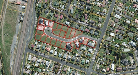
Cactus Court, Te Awamutu:
 |
 |
||
| Project: | • 23 lot, small lot residential subdivision. | ||
| Design Restraints: | • One road frontage • Restricted stormwater outlet with two large catchments flowing into the site. |
||
| Services Provided: | • Subdivision design and resource consent application. • Full engineering design and calculation for drainage. • Full construction set out, supervision and preparation of as-builts. • Full Land Transfer survey and removal of boundary limitation. |
||
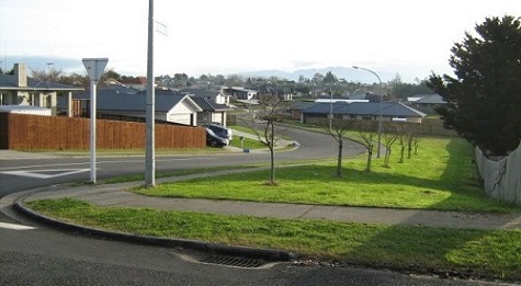
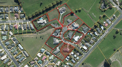
Ash Grove, Te Awamutu:
 |
 |
||
| Project: | • 14 lot, large lot residential subdivision. | ||
| Design Restraints: | • Limited fall to nearest sewer outlet. | ||
| Services Provided: | • Subdivision design and resource consent application. • Full engineering design, calculations and tender documents. • Construction setout, supervision and preparation of as-builts. • Full Land Transfer survey. |
||
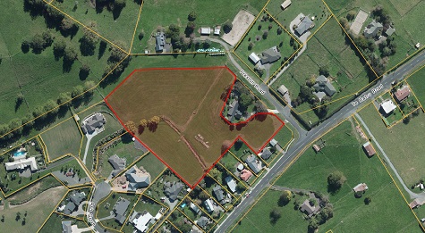
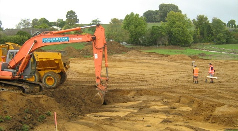
Preston Road, Te Awamutu (Current Development):
 |
 |
||
| Project: | • 12 lot, large lot residential subdivision. | ||
| Design Restraints: | • A sewer outlet was not available without either a pump station or importing fill. The filling option was chosen which involved importing 6000m3 and cut to fill another 5000m3. | ||
| Services Provided: | • Subdivision design and resource consent application. • Full engineering design, calculations and tender documents. • Construction setout, supervision and preparation of as-builts. • Full Land Transfer survey |
||
Other work that we do: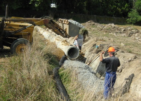
Otorohanga District Council:
We provide the GPS survey control for the Councils legalisation surveys and reticulation extension design.
Waipa District Council:
Undertaking road legalisation survey. Redefinition surveys adjoining Maungatautari Scenic Reserve, water main as built
QEII Trust:
Undertaking large scale QEII covenant surveys.
Waipa Networks Ltd:
Have undertaken various electricity easement surveys and boundary redefinition surveys for the purpose of pole placement.
Maungatautari Ecological Island Trust:
Boundary redefinition and large scale topographical surveys.Services Provided: